DEAD HORSE POINT STATE PARK
(Dead Horse Gultch)
"The view from Dead Horse Point is one of the most photographed scenic vistas in the world."
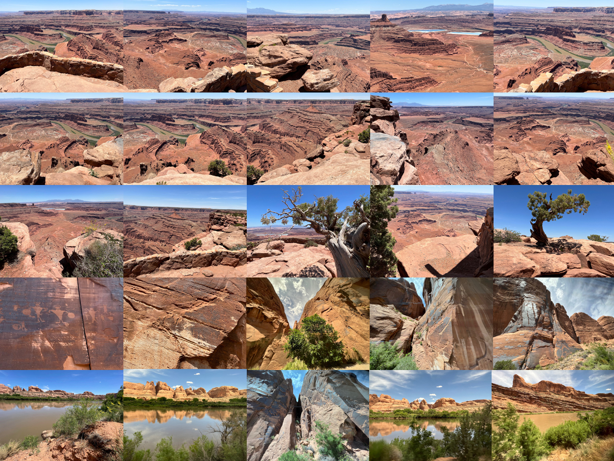
32 miles from Moab, Dead Horse Point State Park is one of Utah's most spectacular state parks. Towering 2,000 feet above the Colorado River, the overlook provides a breathtaking panorama of Canyonlands' sculpted pinnacles and buttes. Millions of years of geologic activity created the spectacular views from Dead Horse Point State Park. Deposition of sediments by ancient oceans, freshwater lakes, streams and windblown sand dunes created the rock layers of canyon country. Igneous activity formed the high mountains that rise like cool blue islands from the desert below.
According to legend . . . . around the turn of the century . . . . Dead Horse Point was used as a corral for wild mustangs roaming the mesa top. Cowboys herded them across the narrow neck of land and onto the point. The neck was then fenced off with branches and brush. Horses were left corralled on the waterless point where they died of thirst within view of the Colorado River - 2,000 feet below.
The Colorado River
The Colorado River, as seen here 2,000 feet below Dead Horse Point, carved out this entrenched meander of canyon walls over the course of 10 to 15 million years.
Relatively recent human activity has reshaped sections of the river. Dead Horse Gulch, is where 3,000 pack animals, (and horses) - the victims of neglect by stampeders and overloading - met their end in the famous stampede of 1898.
Advances in technology made it possible to dam the river's canyons, creating reservoirs such as Lake Powell, and divert water to cities in the desert.
Starting from snowmelt, over 9,000 feet above sea level in the Rocky Mountains of Colorado, the 1,450-mile-long Colorado River flows down through Utah and Arizona, (but not through Colorado), before reaching the Sea of Cortez.
Solar Evaporation Ponds
(Top Row - Fourth Photo)
Those bright blues on the desert floor are solar evaporation ponds for a mine owned by Intrepid Potash, Inc. Potash is potassium chloride, a salt found in the Paradox Formation. Salt deposited from ancient seas made up this formation as it evaporated and was buried by other sediments.
Water is pumped down into the formation to dissolve the salt. This salt water is then pumped into the shallow, vinyl-lines ponds. A blue dye is added to speed evaporation.
Twenty-ton scrapers, guided by lasers, harvest the dry salt. A local refinery transforms this concentrated form of potassium chloride into plant fertilizer.
Utah Highway 279 Rock Art Site
General Information:
Prehistoric Native American Rock Art - is found along the Colorado River and its tributary rivers, streams, and side canyons. The rock art is depicted in either pictograph (painted) or Petroglyph (pecked, incised, chiseled) images. Anthropomorphic (human characteristic) and Zoomorphic (animal characteristic) images are commonly found.
Archaeologists believe that most of the rock art was created during Archaic (6,000-1,000 B.C.) and Fremont (450-1300 A.D.) cultural periods.
Archaic Rock Art:
Archaic rock art consists of petroglyphs and pictographs depicting anthropomorphs and zoomorphs; curvilinear lines, zigzags, wavy lines, concentric circles, and abstract symbols.
Fremont Art:
Fremont Indian Rock Art - often depicts trapezoidal anthro-pomorphs with horns, bighorn sheep, dogs, hunting scenes with weapons, and abstract objects.
Archaic and Fremont Indian petroglyphs can sometimes be found on the same rock art panel.
Native American groups ascribe religious functions to some of the rock art panels and consider them to be sacred sites. Rock art has also been interpreted as depicting concepts of migration routes, fertility, hunting magic, ceremonies, and cosmic events.
These petroglyphs and pictographs are fragile and easily marred. Rock art should not be touched for any reason. The oils in human skin add to the breakdown of the rock surfaces.